Spatial Study
The below flowchart illustrates the various spatial needs divided into categories. These Flowchart was developed based on a study and observation of the Paddington area.

Spatial Diagram
This diagram illustrates the spatial usage in cross section. This arrangement is a direct result of the existing natural topography at the site. 

Topography
Slope: 39m- 25m

The 'direction' of the building follows the ridge, indicated in the below topographic map, from a base level of 25m, to a maximum level of 39m.


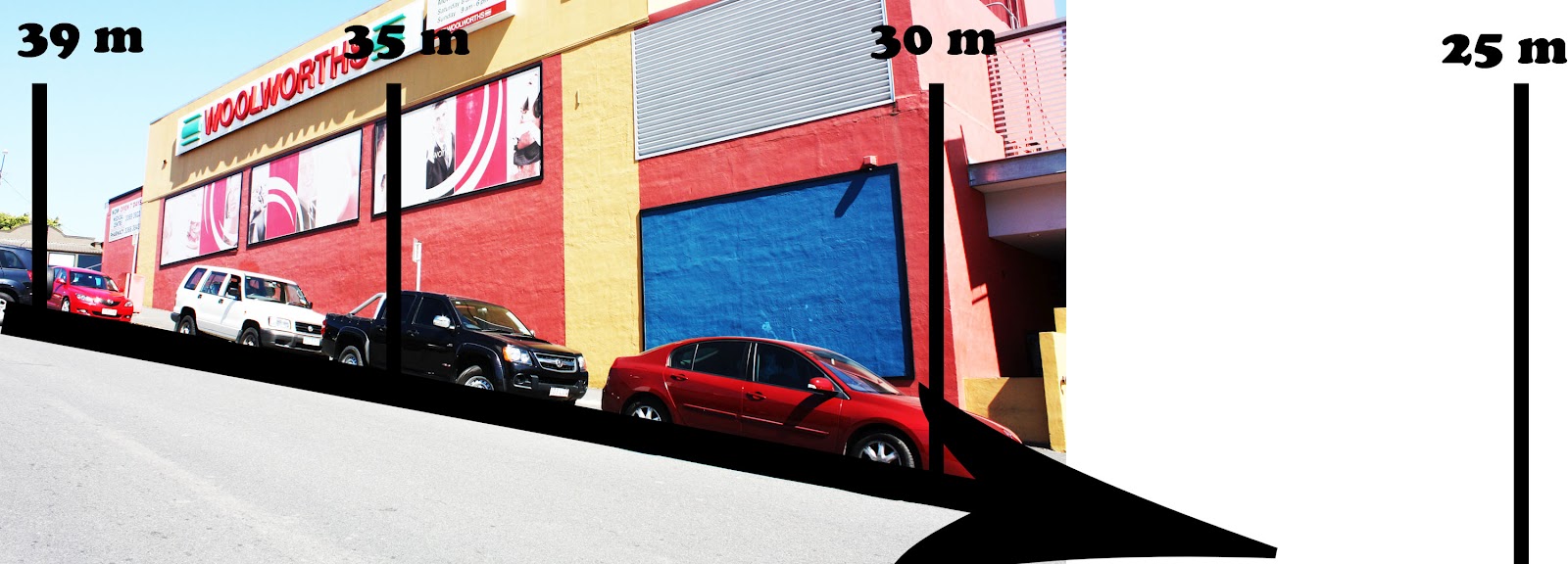
The 'direction' of the building follows the ridge, indicated in the below topographic map, from a base level of 25m, to a maximum level of 39m.

Sun Path & Building Direction
The red line in the below diagram indicates the path of the sun. Points to consider are that with the current building design, the 'void' (at the buildings' center) would receive the best light both in the morning and evening.

 |
| Section |
No comments:
Post a Comment